
Last checked from Maricopa County OET GIS official status page 2 min. 32 sec. ago
Maricopa County OET GIS Status

Is Maricopa County OET GIS down?
Maricopa County OET GIS is up
Geographic information services for Maricopa County, AZ.
Not working for you?
StatusGator last checked the status of Maricopa County OET GIS on and the service was operational. There have been no user-submitted reports of outages in the past 24 hours. The last officially acknowledged outage was on .
Similar services:
 Rico
Rico
Maricopa County OET GIS service health
This chart represents Maricopa County OET GIS service health over the last 24 hours, with data points collected every 15 minutes based on issue reports, page visits, and signal strength. Sign up for free to see more Maricopa County OET GIS status data.
24 hrs ending
●
Service up
●
Possible outage
●
Likely outage
Top reported issues
View and upvote the most commonly reported Maricopa County OET GIS issues to help us better indicate the service status.
- Connectivity issue
- Error message
- Server not responding
- Sign in problem
- Service down
- Slow performance
- Unable to download
- App not loading
- Other
Have a different problem with Maricopa County OET GIS?
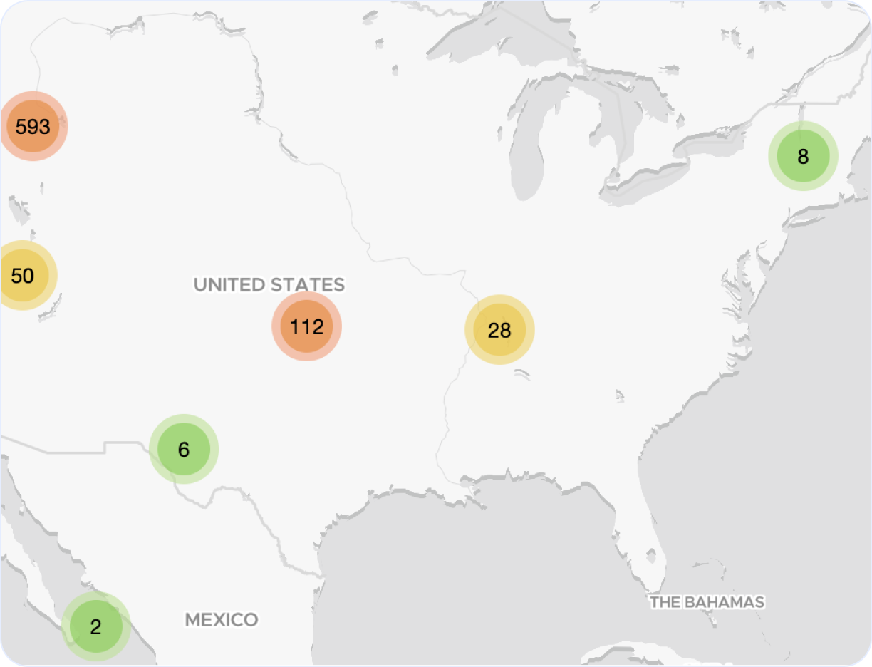
Maricopa County OET GIS outage map
Explore our interactive Maricopa County OET GIS outage map to monitor real-time incidents and service issues across the globe. This dynamic map highlights regions around the world affected by recent Maricopa County OET GIS outages, giving you a clear view of performance and downtime trends.
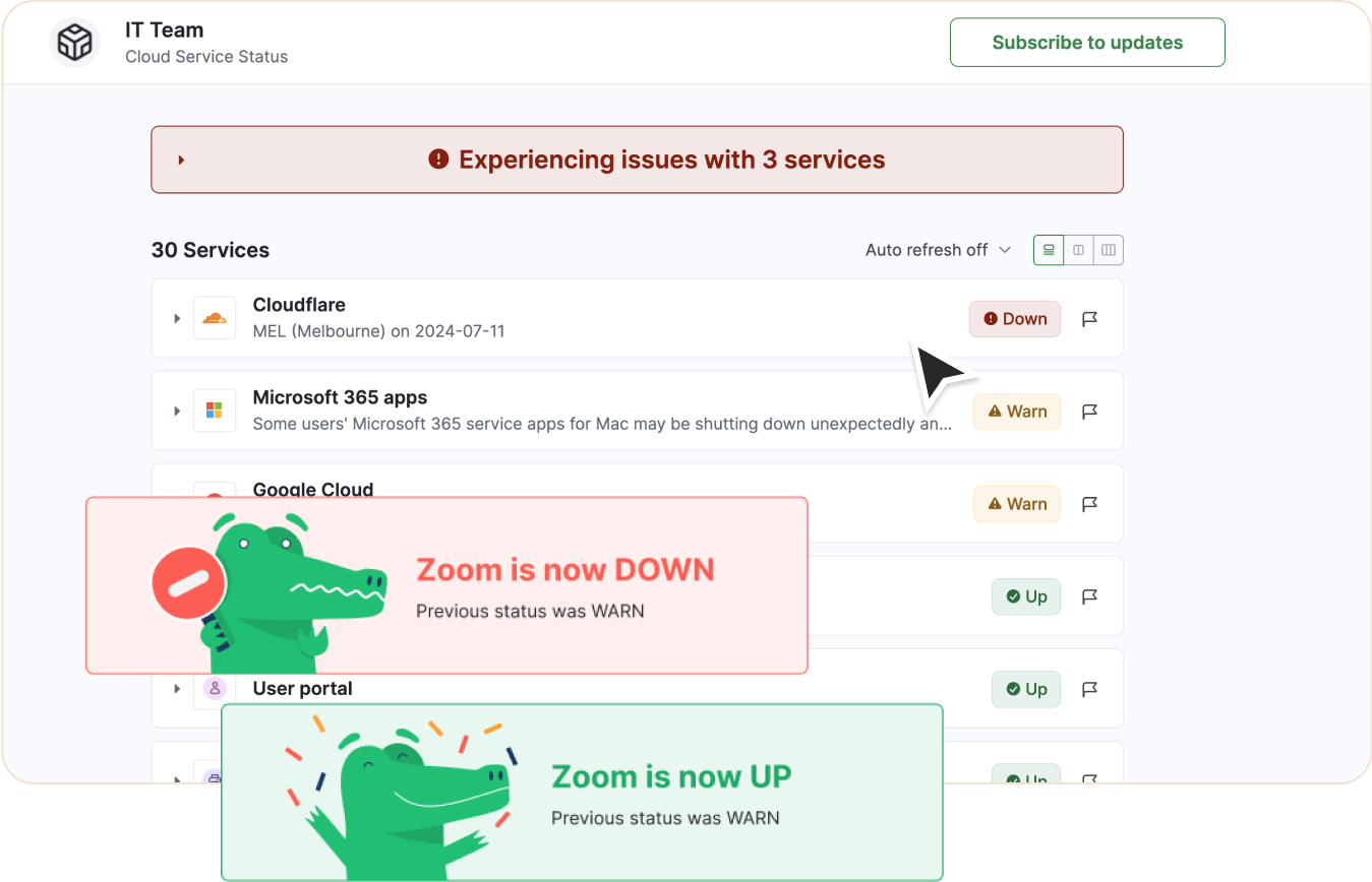
Looking to track Maricopa County OET GIS downtime and outages?
- Receive real-time status updates
- Show current status on private or public status page
- Be the first to know if service is down
- Keep your team informed
- Monitor alongside other services and websites
Recent Maricopa County OET GIS outages and issues
Follow the recent outages and downtime for Maricopa County OET GIS in the table below.
If you're experiencing a problem now, check the current Maricopa County OET GIS status or
.
| Incident name | Duration | Started | Severity |
|---|---|---|---|
|
Major incident
|
5m |
Down
|
|
|
Major incident
|
5m |
Down
|
|
|
Major incident
|
5m |
Down
|
|
|
Major incident
|
10m |
Down
|
|
|
Major incident
|
15m |
Down
|
Incident name
Major incident
Duration
5m
Start
Severity
Down
Incident name
Major incident
Duration
5m
Start
Severity
Down
Incident name
Major incident
Duration
5m
Start
Severity
Down
Incident name
Major incident
Duration
10m
Start
Severity
Down
Incident name
Major incident
Duration
15m
Start
Severity
Down
Get notified about Maricopa County OET GIS outages
Stay updated with instant alerts for Maricopa County OET GIS outages by signing up now!
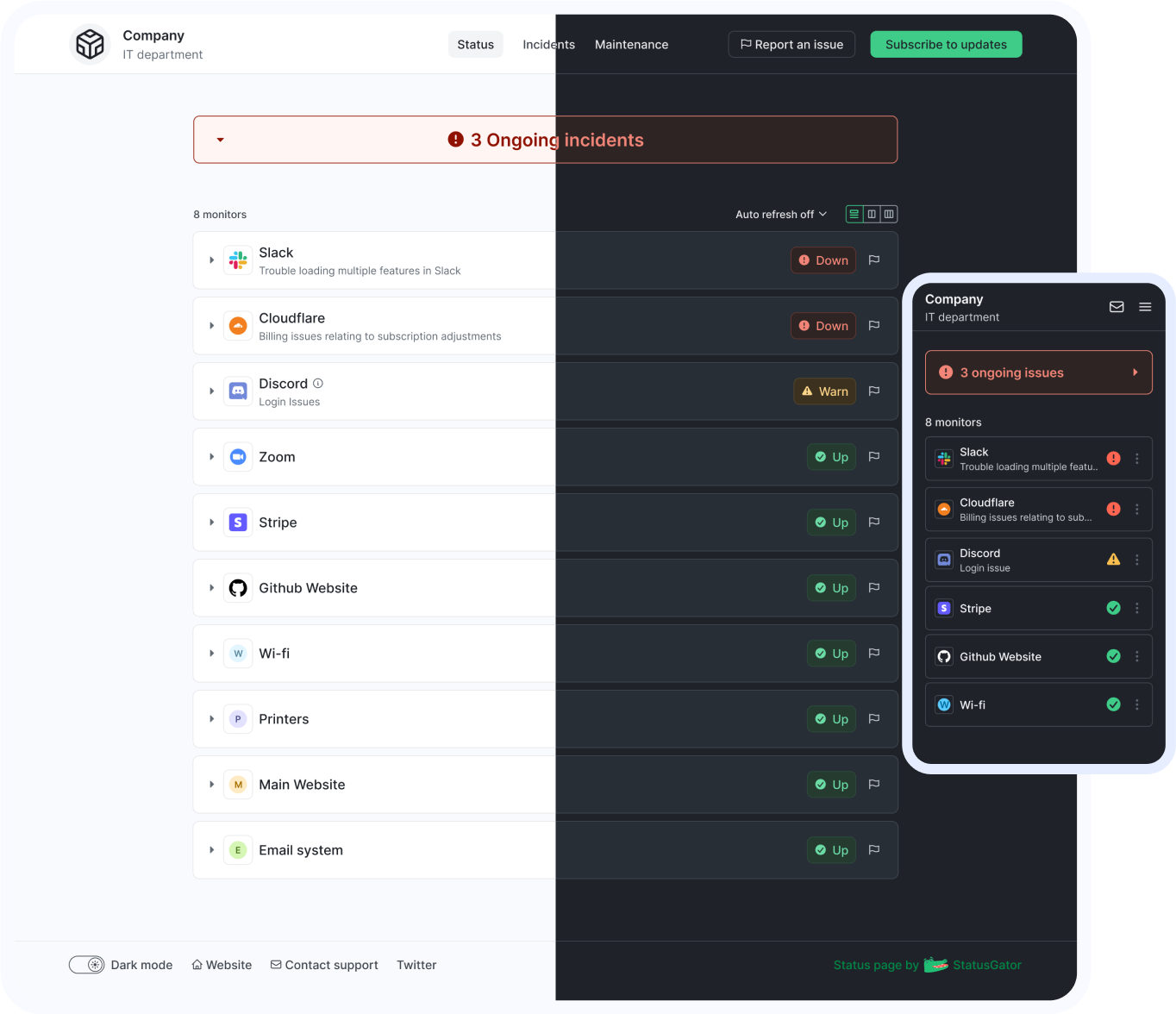
See Maricopa County OET GIS status on your status page
You can also monitor any service or website on your status page
Maricopa County OET GIS components
View details of the current Maricopa County OET GIS status below.
If the status shows "Up" but you're still experiencing issues, you can
such as connectivity issues, outages, or slow performance. These
issues are commonly reported when Maricopa County OET GIS is down or
facing partial disruptions.
| Component name | Status |
|---|---|
| GIS Applications (Beta) |
Up
|
| GIS Services (Beta) |
Up
|
| GIS Website (Beta) |
Up
|
| Maricopa County OET GIS Infrastructure (Beta) |
Up
|
Get notified about Maricopa County OET GIS outages
Stay updated with instant alerts for Maricopa County OET GIS outages by signing up now!
One app that has it all
With features designed to cover all your needs for monitoring and communicating outages or downtime, StatusGator keeps your team connected and informed. Stay updated on Maricopa County OET GIS outages, potential problems, and its current status in real-time, ensuring you're always prepared to act.
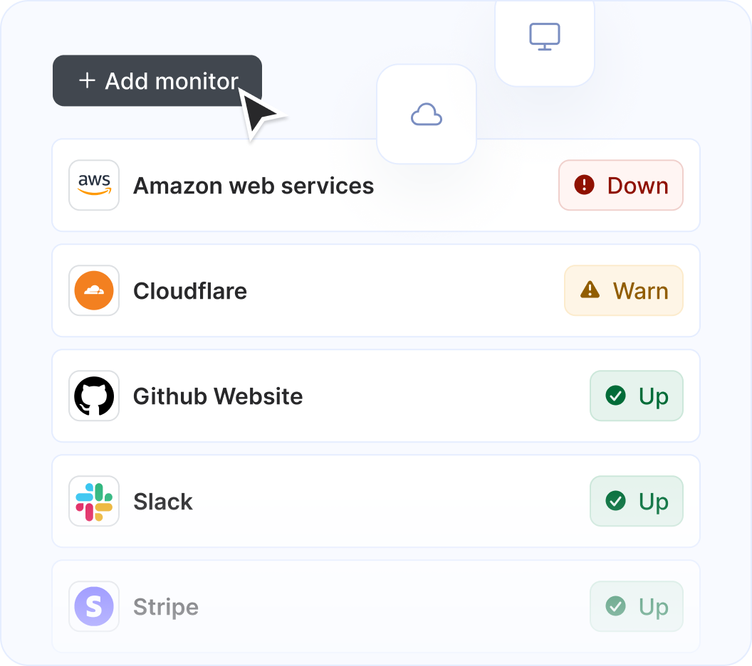
Monitor Maricopa County OET GIS along with other services and websites
StatusGator monitors over 11,360 cloud services, hosted applications, and websites. Just add what you need to the list, and we'll automatically aggregate their statuses into a single page. You'll receive notifications for any issues affecting you and your page subscribers.
Get notified on Maricopa County OET GIS status change

StatusGator monitors all of your services and websites and sends your team instant notifications when they go down. Stay abreast of issues that affect your team with notifications: in email, Slack, Teams, or wherever your team communicates.
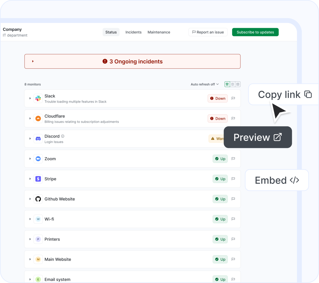
Show Maricopa County OET GIS on your status page
Easily notify your end-users of outages using a customizable status page. Display cloud services or websites, as well as any custom monitors you add manually. Create multiple status pages tailored to different needs, customize them, and embed them for maximum effectiveness.
About our Maricopa County OET GIS status page integration
Maricopa County OET GIS (Geographic information services for Maricopa County, AZ) is a a Geo and Government solution that StatusGator has been monitoring since May 2026. Over the past 5 months, we have collected data on on more than 41 outages that affected Maricopa County OET GIS users. When Maricopa County OET GIS publishes downtime on their status page, they do so across 4 components using 4 different statuses: up, warn, down, and maintenance which we use to provide granular uptime metrics and notifications.
If you're wondering, "Is Maricopa County OET GIS down?", or need to know its current status, we've got you covered. Our platform tracks every reported outage, performance issue, and maintenance window to ensure you're informed. Whether Maricopa County OET GIS is experiencing a problem now or has recently resolved one, our detailed history keeps you updated.
Many StatusGator users monitor Maricopa County OET GIS to get notified when it's down, is under maintenance, or has an outage. You can get alerts by signing up for a free StatusGator account.
-
Early Warning Signals
If we detect a potential Maricopa County OET GIS outage or other issue before it was reported on the official status page we will send an Early Warning Signal notification to StatusGator subscribers. We can often detect issues before they are officially acknowledged by the provider, giving you a head start on resolving any potential problems.
-
Down notifications
If Maricopa County OET GIS is having system outages or experiencing other critical issues, red down notifications appear on the status page. In most cases, it means that core functions are not working properly, or there is some other serious customer-impacting event underway.
-
Warning notifications
Warn notifications are used when Maricopa County OET GIS is undergoing a non-critical issue like minor service issues, performance degradation, non-core bugs, capacity issues, or problems affecting a small number of users.
-
Maintenance notifications
Maricopa County OET GIS posts separate notifications for planned maintenance work. StatusGator will notify subscribers when Maricopa County OET GIS enters a pre-planned maintenance window, keeping you up to date.
-
Status messages
When Maricopa County OET GIS posts issues on their status page, we collect the main headline message and include that brief information or overview in notifications to StatusGator subscribers.
-
Status details
When Maricopa County OET GIS has outages or other service-impacting events on their status page, we pull down the detailed informational updates and include them in notifications. These messages often include the current details about how the problem is being mitigated, or when the next update will occur.
-
Component status filtering
Because Maricopa County OET GIS has several components, each with their individual statuses, StatusGator can differentiate the status of each component in our notifications to you whenever a particular component is down. This means, you can filter your status page notifications based on the services, regions, or components you utilize. This is an essential feature for complex services with many components or services spread out across many regions.
Get notified about Maricopa County OET GIS outages
Stay updated with instant alerts for Maricopa County OET GIS outages by signing up now!
Looking for Downdetector Maricopa County OET GIS alerts?
Both official and crowdsourced updates for Maricopa County OET GIS outages.
StatusGator
Downdetector
More than 11,360 services monitored.
StatusGator
Downdetector
Proactive alerts on Maricopa County OET GIS status changes sent to your Slack, Microsoft Teams, and more.
StatusGator
Downdetector
Monitoring of both Maricopa County OET GIS and your own apps.
StatusGator
Downdetector
Granular monitoring of Maricopa County OET GIS components.
StatusGator
Downdetector
Frequently asked questions
Can't find your question? Email us to arrange a time to discuss. We'd love to chat!